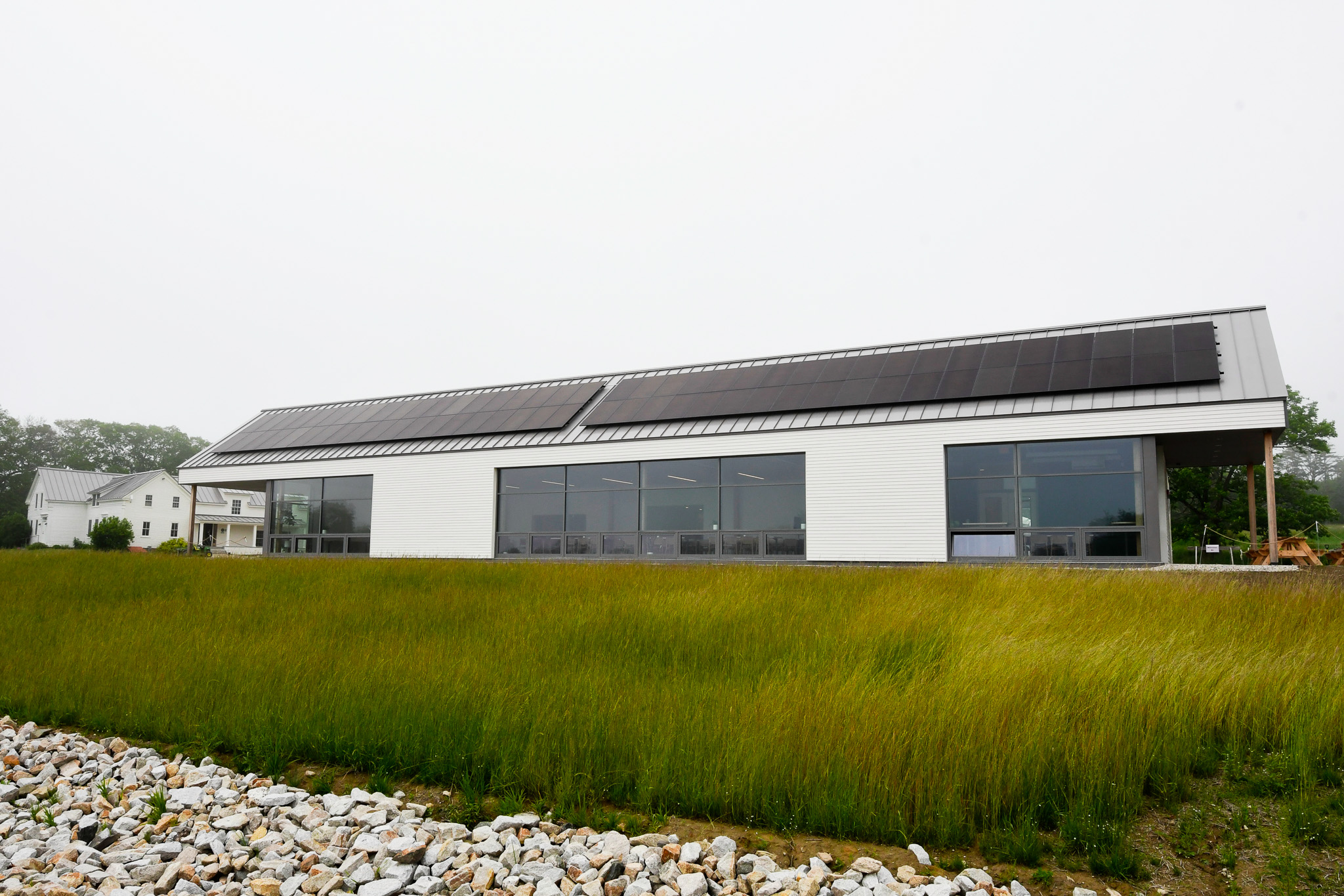
Note-we have reached our registration limit, but there is a waitlist. MEGUG is pleased to announce our Fall conference. Open to both members and non-members, this will be a full day event featuring presentations, posters, and our annual meeting. This year it will be held at the new Smith Center at the Wolfe's Neck Center for Agriculture and the Environment in Freeport.
********
PROGRAM
SCHEDULE
8:30 - 9:15
Registration, Exhibitor set-up, and Breakfast
9:15 - 9:45
Welcome and intro to MEGUG
Intro to Programs at Wolfe's Neck Center by Sienna Zuco and Alex Gulachenski
9:50 - 11:30
Morning Session – Track A
Will Kochtitzky, University of New England: GIS at UNE - From Maine to the Poles
Paul Morris, Terracon Consultants, Inc.: What Location Data Does Google Have on You?
Tora Johnson, University of Maine at Machias: Introduction to GIS Mapping Course through the Maine Geospatial Institute
Morning Session - Track B
Jenna Nelson, Blue Marble Geographics: Improving Vertical and Horizontal Accuracy Between Point Clouds
Brendan Hall, University of Maine Orono: Bridging the Gap: Extending Vector Tools to Raster Spatial Analysis
Mark Scott, Esri: ArcGIS Solutions for Public Works
11:30 - 12:00
Poster Session and Exhibitors
Katelyn DeWater, University of New England: The Growth of Mega Pool Systems in 12 Maine Salt Marshes From 2009 to 2021
Patricia Tilton, University of Maine Machias: Discovering the Dennys: A River Through Time
Emma Nickerson, University of Maine Machias: Mosquito Abundance in the Dwight B. Demeritt Forest, Orono, ME
Lauren Murphy, University of Maine Machias: Henry Point: Flood Inundation Mapping to Prepare for New Development
Robin Hadlock Seeley: Deploying Drones to Detect Ledges Denuded by Seaweed Harvest
12:00 - 1:00
Lunch
Visit Exhibitors
1:00 - 1:30
Rosemary Mosher: Overview of NEURISA;
Jay Clark: Geolibrary Update
1:35 - 4:00
Afternoon Session – Track A
Meadow Dibble and Erika Arthur, Atlantic Black Box: Researching Maine's Problematic Place Names
Philip Englund Mathieu, The Roux Institute, Northeastern University: Modelling Access to Conservation Land Through an Equity Lens
Jamie Carter, NOAA Office for Coastal Management: NOAA Digital Coast Updates
Afternoon Session – Track B
Robert Rogers: Tax Map Quandaries and Curiosities
Jonah Waterman, City of Lewiston Maine: Building a Asset Management Program from your GIS
Paul Morris, Terracon Consultants, Inc.: Automating Corporate Products: Marketing Maps, Office Location Data, and More
4:00
MEGUG Annual Meeting, Awards, Door Prizes
Directions to the Smith Center: 184 Burnett Rd, Freeport, ME. From Route 1 in downtown Freeport, take Bow Street and continue for approximately 2.3 miles until you reach Wolfe’s Neck Rd. Turn right onto Wolfe’s Neck Rd, continue until you reach Burnett Rd and turn left. Once you are on Burnett Road, continue over the bridge until you reach the farmhouse, Livestock Education Barn, and Smith Center. Parking is available in the lot next to the Smith Center, or in marked areas along Burnett Rd.
 Smith Center at Wolfe's Neck
